Bridge and Roadway Deterioration Mapping
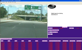
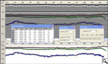
SER90, Inc. provided toll-roads and municipalities with bridge and roadways scanning to map deterioration. Our scanning services included visual inspections using high-resolution video camera coupled with air-launched GPR antenna. All data is geo-referenced using sub-decimeter corrected GPS data.

Visual inspection, crack inventory/classification with accurate geo-reference data.

Pavement thickness and conditions data using GPR analyses.

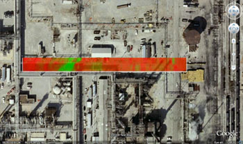
KML file export for clients’ initial view of results

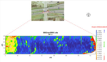
Deterioration Mapping of Bridge at Milemarker 20.5 Indiana Toll Road
